Über mich/uns
Welcome to Kingdom of Maps - a digital map shop and curated archive of cartographic history, reimagined for the modern world. Here, vintage maps aren’t just relics of the past; they’re visual stories, design elements, and conversation starters. Whether you're a history enthusiast, a traveler at heart, or a designer seeking timeless texture, you’ll find something here that speaks to your sense of place and time.
Each map in this collection is carefully restored from historical sources like 19th-century atlases, city plans, and exploration charts. I focus on clarity, authenticity, and high-resolution detail, ensuring every digital download is ready for printing, framing, or creative reuse. From antique city layouts to forgotten borderlines, these maps offer a glimpse into how the world once saw itself — and how far we've come.
Why digital? Because flexibility matters. You get instant access, no shipping delays, and the freedom to print at any size or use in your own projects. Whether you're decorating a study, crafting a game, or building a brand with vintage flair, these files are yours to adapt.
I’m passionate about maps not just as artifacts, but as tools for storytelling. My background in digital design and pixel-perfect restoration means every file is optimized for both aesthetic and technical quality. I also welcome custom requests — if you're looking for a specific region, era, or style, I’m happy to explore the archives with you.
New maps are added regularly, so check back often to discover fresh finds from the archives. Follow the shop to stay updated on the latest releases, and don’t hesitate to reach out with ideas or questions. Your next favorite map might be just around the corner.
Thanks for stopping by. Let these maps guide your creativity, spark your curiosity, and add a layer of depth to your space or project. The past is full of stories - and now, they’re just a download away.
Mehr
Kürzlich erstellte Produkte
Alle Produkte anzeigen
Antike Magdeburger Karte, Vintage Deutsche Kartogr Poster
PreisCHF 137.00
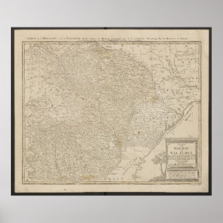
Karte von Moldawien und Walachei von 1785 Poster
PreisCHF 123.00
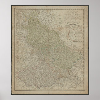
Historische Antiquarische Karte von Schlesien und Poster
PreisCHF 118.00

Karte von Nord- und Südamerika aus Deutschland von Poster
PreisCHF 120.00

Vintage 1757 Karte von Deutschland, Historisches D Poster
PreisCHF 141.00

Karte der Königreiche Galizien und Lodomerien von Poster
PreisCHF 125.00
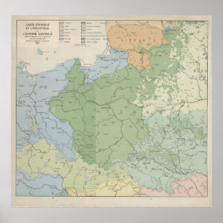
Sprachkarte Mittel- und Osteuropas von 1937, Poster
PreisCHF 108.00

Tschechischer Kartendruck, Vintage Böhmen Plan, Wa Poster
PreisCHF 117.00

1780 Karte von Paris, Historische Stadtkarte, Anti Poster
PreisCHF 148.00
Kollektionen
Alle Kollektionen anzeigen


Europe Maps
5 Artikel
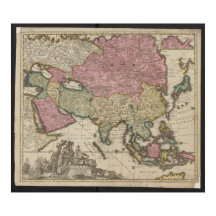

Asia Maps
2 Artikel

Latin America Maps
1 Artikel
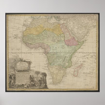
Africa Maps
1 Artikel

USA Maps
2 Artikel
Poland Maps
1 Artikel


Germany Maps
23 Artikel
Produkte
Alle Produkte anzeigen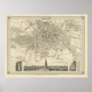
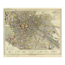
Berlin 1850 Karte, Historische Deutsche Stadtillus Poster
PreisCHF 135.00
1947 Stadtplan von Dresden, deutscher Städtebau Poster
PreisCHF 117.00
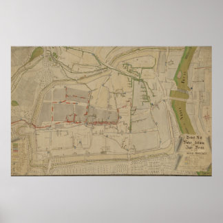
Plan des Wasserversorgungssystems in Görlitz, 1794 Poster
PreisCHF 150.00

E. Gaebler’s Grosser Plan von Leipzig (1943) Poster
PreisCHF 127.00
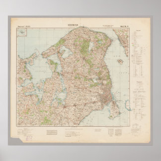
Alte Karte von Kopenhagen 1941, Dänemark Poster
PreisCHF 115.00
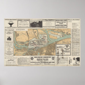
Tor zur Welt: Der Hafen von Hamburg Karte Poster
PreisCHF 145.00
Antike Magdeburger Karte, Vintage Deutsche Kartogr Poster
PreisCHF 137.00

America Meridionalis, Südamerika-Druck, 1772 Poster
PreisCHF 129.00

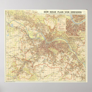
Vintage 1923 Plan Karte von Dresden Deutschland Poster
PreisCHF 133.00
CREATOR