Caribbean Nautical Charts and Maps
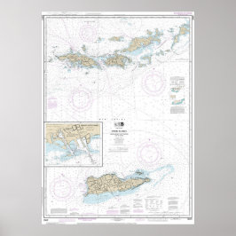
Caribbean nautical charts and maps collection contains mostly NOAA nautical charts. The original NOAA paper nautical charts cover the Caribbean coast. However, these chats are being phased out by NOAA. Each nautical chart in this collection has been digitally altered and enhanced to achieve the best possible presentation for the store’s products. In some cases, the chart’s modifications include cropping the image, relocating the title, or removing the borders that contain navigation notes. These Caribbean maps and charts are not suitable for navigation. However, they are well-suited for a number of nautical decor purposes including river house decor, beach house decor, and coastal living decor. The products in the collection make ideal house-warming gifts. Many of these products are ideal for living area decor, bathroom decor, and business decor. These designs are customizable. You can also select other products not shown with this design and make your own creation.
2 ergebnisse

Gorda zu St. Thomas und St. Croix Wasserkarte Poster
PreisCHF 83.80
Weitere Kollektionen von NauticalCharts, die dir gefallen könnten
Zuletzt angesehene Produkte