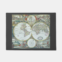
Antique World Map by Frederick De Wit, 1668
Vintage illustration antique world map by Frederick De Wit, 1668. Nova Totius Terrarum Orbis Tabula. The double hemispheres feature the island of California and shorelines of western Australia and New Zealand, Southeast Asia, and includes Terra Esonis, the mythical land bridge which virtually connects Japan and California. The scenes surrounding the map are by Dutch artist Romeyn de Hooghe and represent the four elements. Fire is shown by war and destruction; air by the heavens; earth by harvesting and husbandry; and water by ships, a spouting whale and mermaids. There are groups of figures between the hemispheres and polar projection maps are above and below the atlas. More designs and products available, please browse my store and email special requests to masterpiececafe@gmail.com
27 ergebnisse


Antike Weltkarte aus dem 17. Jahrhundert, Frederic T-Shirt
Sale Preis CHF 28.73. Originalpreis CHF 38.30.


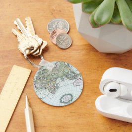
Antike Weltkarte aus dem 17. Jahrhundert, Frederic
Sale Preis CHF 5.99. Originalpreis CHF 6.65.


Antike Weltkarte aus dem 17. Jahrhundert, Frederic Einladung
Sale Preis CHF 2.91. Originalpreis CHF 3.88.


Weitere Kollektionen von YesterdayCafe, die dir gefallen könnten
Zuletzt angesehene Produkte